Twenty miles of history, ecology, and an ambush.
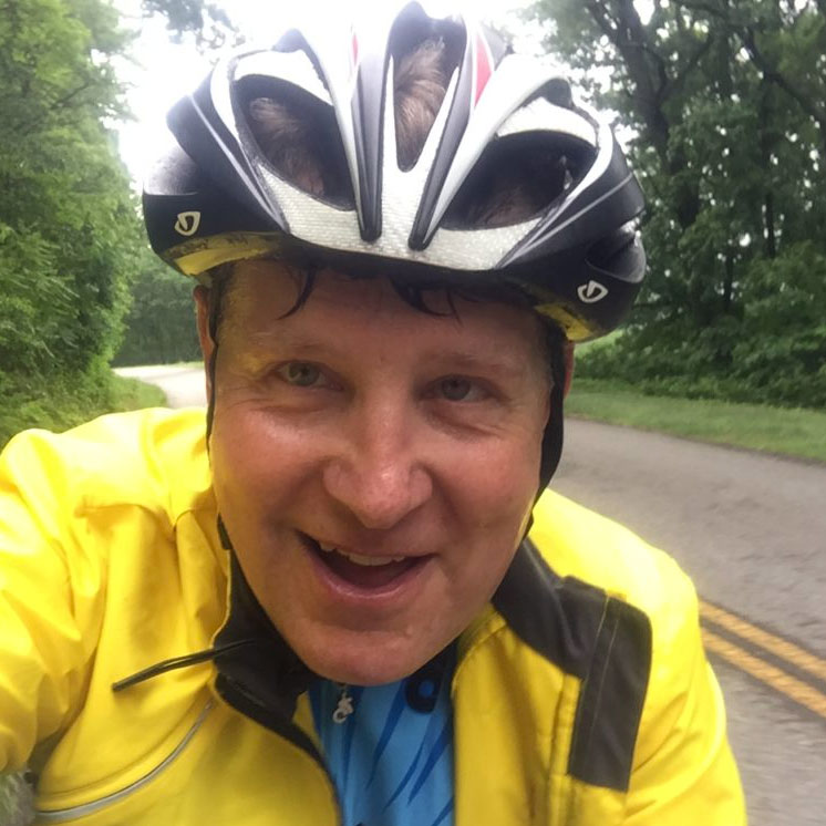
The sky was gray and threatening and the temperature hovered in the mid-50s. But it wasn’t raining, and we had been in the car for six hours. It was time to get out and ride.

My wife Mary and I returned to the Ohio and Erie Canal Towpath hoping to enjoy it more than we had the last time we rode. In retrospect, I think I was a bit unfair to the trail when I wrote about it in March of 2019. On that trip, Spring had not yet arrived in Ohio as it had at home in Roanoke, Va. We hit the trail on a similarly cold and cloudy day. Without leaves on the trees or any other signs of greenery emerging from winter, the trail seemed bleak and stark. Not to mention the fact that the pandemic started in earnest that same weekend. To make matters worse – I was headed to Cleveland for a doctor’s appointment, and my mind suffered the effects of a year on prednisone.
This trip was also to see those same doctors, who specialize in the treatment of Sarcoidosis, a disease I have written about to some extent as it has impacted my ability to ride my bicycle. On the other hand, my bike has made coping with the disease that much more tolerable. Those same doctors attribute my continued success in battling the disease to my bicycle riding. Sometimes it’s hard to pick the proper narrative. Does the disease ruin my cycling? Or has cycling saved my quality of life? I prefer to think about how cycling keeps me healthy and how fortunate I am to just be riding.
My riding being what it is, I now travel to Cleveland once a year for a check-up. It’s a seven-hour drive from home to Cleveland Clinic, and what better way to break up the drive than a bike ride on a trail that is just off the Interstate?
The return to the Ohio and Erie Canal Towpath

This time it was May — and Spring had arrived in Ohio. Wildflowers grew beside the towpath, and various greenery poked up from the boggy areas beside the trail. The leaves on the trees, while not fully in summer splendor created a mostly green canopy.
We parked at Canal Lands Park, in the interesting little village of Zoar. The historical society restored the buildings in the little town where signs boast that Zoar, founded in 1817 by a group of German separatists seeking relief from religious persecution, “thrived as a unique society for more than 80 years, making Zoar one of the most successful communal settlements in American History.”
Alas, we arrived after closing time and our goal was to see what the towpath had to offer, which was more than we expected. Next time I want to do a little tour of Zoar.
Riding past lift locks on the Ohio and Erie Canal Towpath

Mules originally used the towpath as they pulled boats and small barges through the canal. Railroads and highways replaced the canals. But the defunct canal ways make for great cycling. We rode our gravel bikes on the crushed limestone surface and quickly came across four lift locks, once used to lift boats up and over the rapids on the Tuscarawas River.
I wondered if people in the 1800’s ever had any inkling that someday this same path would attract people from around the world. People who would come just to ride their sophisticated bicycles on a trail that they depended upon just to get their work done and to provide goods and materials for people downriver.
Now covered with moss and with small trees emerging from the bottoms of the locks, the remnants of the former canal are still intriguing and easy to access. There are benches near each of the four locks, and historical markers describe their role in history. We stopped at Lock 10 and looked around for a bit. I wondered if people in the 1800’s ever had any inkling that someday this same path would attract people from around the world. People who would come just to ride their sophisticated bicycles on a trail that they depended upon just to get their work done and to provide goods and materials for people up and downriver.

Crossing the Interstate and headed to an ambush
The trail was “supposed” to end when we reached Interstate 77. That’s what the sign at the trailhead told us. Instead, a bold bridge crossed over the interstate and the trail continued on toward the town of Bolivar. What I suspect is that this new section of trail is under someone else’s care and we had simply officially left Canal Lands Park.

After pedaling for just a few minutes we emerged at Fort Laurens – another historical site. There had been a Revolutionary War-era fort here. The signage said that Native Americans and British forces killed a number of Americans during an ambush, but that a subsequent siege failed to oust the rest of the troops.
Again, we had pedaled into a piece of history that seemed worth stopping for, but we had arrived after hours, and the small museum was closed. Our sense of exploration was pretty high at the moment. We had pulled off the Interstate looking for any old section of trail to ride. I’d like to say that we planned to go and see all these things on purpose, but I’d be lying.
We simply stumbled upon – or pedaled into – all this history.

After Fort Laurens we followed a series of images of bicycles painted on the pavement, and continued on the trail, arriving in the town of Bolivar. We rode through Bolivar, under blossoming dogwoods and beside well-manicured homes and businesses. It was pretty and inviting, despite the grey skies.

I couldn’t tell if we were supposed to be riding on the road or on the sidewalk. The trail markers seemed to indicate the sidewalk, so that’s what we did.

As I look back at my photos, I noticed there is ample room on the side of the road, and the cyclist in me feels like we should have just stayed on the lightly traveled street.
Back into the woods

A few blocks later the trail took a hard left and, still following the trail of painted bikes on the pavement, we arrived at a greenway that took us out of town and eventually back into what seemed to be more of the original towpath.
We passed along a field that would soon hold summer crops and through an awesome, short tunnel. We then continued along a hard-packed crushed limestone trail for a few more miles. Here, we were back in the woods with what looked to be remnants of the canal beside us. Bunches of blue wildflowers grew beside the trail and large skunk cabbages emerged from the swampy waters in these forested wetlands.

Though some might turn their nose up at this type of scenery, I find it intriguing. I wondered what I could see if I put a camera under the water here. Would there be bluegills, frogs, and turtles? Or would these areas produce only leeches and mosquito larvae? Either way, I respect these swamps and wetlands as essential parts of the environment.
Long ago workers constructed the trail well above the wetlands and all we had to do was roll along, taking it all in.
My Garmin indicated 10 miles, just as we reached Riverland Avenue. We wanted to do 20 miles and finish before dark, and we were right on schedule.
We backtracked along the same route. It may feel repetitive to ride an out and back, but you always see stuff you missed on the way out.
We went back through the fort. Back over the Interstate and onto the narrower trail that took us past the lift locks.
When we reached the parking lot, it was deserted, save for our car.
Dinner at the Towpath Tavern

We loaded up the bikes, changed out of our damp clothes, and began Googling for a place to eat.
I had noticed a sign for the Towpath Tavern in Bolivar, and we had no trouble circling back to it. What could be better than a tavern named after the trail we had ridden?
Inside we enjoyed a beer, nachos, and dinner. Mary had chicken tenders while I enjoyed an Italian sausage sub. Regulars traded good-natured barbs with the servers and bartender. The atmosphere was fun and inviting.
We made sure to let them know that we were here to ride the trail. It never hurts to let people know that bicycling destinations attract people who will spend some money when they get there. Mary even bought a hoodie displaying the Towpath Tavern’s logo.

This little ride had been a stab in the dark. We didn’t know what we would find, and we would have been happy to get out of the car for any old ten miles of trail. Instead, we found history, a beautiful small town, and a great little place to eat.
Not a bad way to get to a doctor’s appointment.
Follow me on Strava
Read more about Cycling with Sarcoidosis.
The Ohio and Erie Canal Towpath trail is over 80 miles long. Read more about it here.
Read more about my last trip to the Ohio and Erie Canal Towpath, here.
I’ve started a YouTube channel called Biking for Boomers. Check it out!