Staying in the Lap of Luxury – The Greenbrier

The front of the Greenbrier Resort in White Sulphur Springs, WVa. It’s only a five minute drive to the Greenbrier River Trail.
Greenbrier River Trail Caldwell to Anthony

Mary rides north on the Greenbrier River Trail with the river on her right.
If you really want a first class rails to trails experience, then do it the way my wife and I did. Stay at the Greenbrier Resort before heading out on the gorgeous Greenbrier River Trail. The five star resort offers golfing, nine restaurants, a casino, hiking, biking, horseback riding, shooting sports, fishing and more. Not to mention afternoon tea. Bring your checkbook, because everything is pricey.

Our room at the Greenbrier
We stayed at the resort for the Associated Press of the Virginia’s Broadcast awards. As you may know I’m a news anchor for WSLS in Roanoke and also served a two year term as president of the AP board of directors. Mary and I enjoyed the benefit of the group rate for the conference, and more importantly, nearby access to the trail.
It’s only about a six mile drive from the resort to the trail head. You could ride it if you wanted to, but Route 60, the highway from the Greenbrier to the trail is narrow and doesn’t look bike friendly. Basically its two right turns. Turn right out of the resort and go till you get to the community of Caldwell. Take a right after you cross the Greenbrier River onto Stonehouse Road. Trail head parking is a mile or so on the left, with the trail on the right. This is the southern end of the 77-mile long trail.
Riding the Southern End of the Greenbrier River Trail

Map of the Greenbrier River Trail
After such a good night’s sleep in our luxury king size bed, and despite drinking something called an Adult Milkshake at Draper’s inside the resort, we arrived at the trail head fresh and ready to go. There is parking for maybe 20 vehicles and only a few were open when we arrived. A testament to the popularity of the trail. It was a warmish spring day, but overcast. The leaves were not yet on the trees, and only a few wildflowers were blooming, in other words pre-peak season. It made me wonder about space here during more popular times of the year.

Not many flowers were blooming in late April, save for some violets.
The parking area offers a picnic table, and a kiosk with information about the trail’s railroad and logging history and other information. There were no restrooms. It looked like there was a drinking fountain where you might fill water bottles, but I didn’t test to see if it was working. It’s possible also that it’s turned off during colder months.
Either way, I was glad we brought our own water.

Trailhead parking at Caldwell
As we headed out on the GRT, I was glad to see the hard-packed stone dust surface. It was in good shape and the bikes rolled easily. Since the trail is basically flat, you hardly ever need to change gears. I rode my Cannondale 29er with the suspension locked out. Mary was on her Giant hybrid. I spent a lot of time thinking about how hard I was pedaling compared to her and mentally debating gravel bike vs. cross bike for my next purchase, but I digress. The mountain bike rolled like a cloud, and this type of riding is all about the scenery! Pace should be secondary. Still… Hmmm.

Restrooms appear sporadically on the GRT
Damage to the Trail

Damage to the Trail Courtesy Greenbrier River Trail Association
The trail was badly damaged by flooding in June of 2016 that ravaged the region. The portion of the trail that we rode had been completely washed out in places, and we could see the areas where repairs had been made. Ironically, many of the beautiful waterfalls we saw along the route were likely the cause of the massive gullies that made the trail impassible two years ago, as water cascaded off the mountainside.
The non-profit Greenbrier River Trail Association has updates on its website as well as great maps of the attractions along the trail such as bridges and tunnels. For now it is safe to say the trail is open throughout its length.

A waterfall along the GRT
We saw lots of people on the trail but it was nowhere near “crowded.” Lots of folks were walking dogs or out for a run. No doubt enjoying the Greenbrier River, which was on our right for the trip north. It is beautiful and almost always in view. The river was swollen with spring rains, but thoughts of drift fishing from my kayak during warmer months and lower water levels, were never far from my mind.
The trail is dotted with benches and the occasional picnic table. We stopped at a table near mile marker 13 and enjoyed a snack. Just across the trail a three story waterfall made for nice scenery. Based on the small amount of water coming over the edge, I would guess it does not flow year round.

The waterfall at mm 13

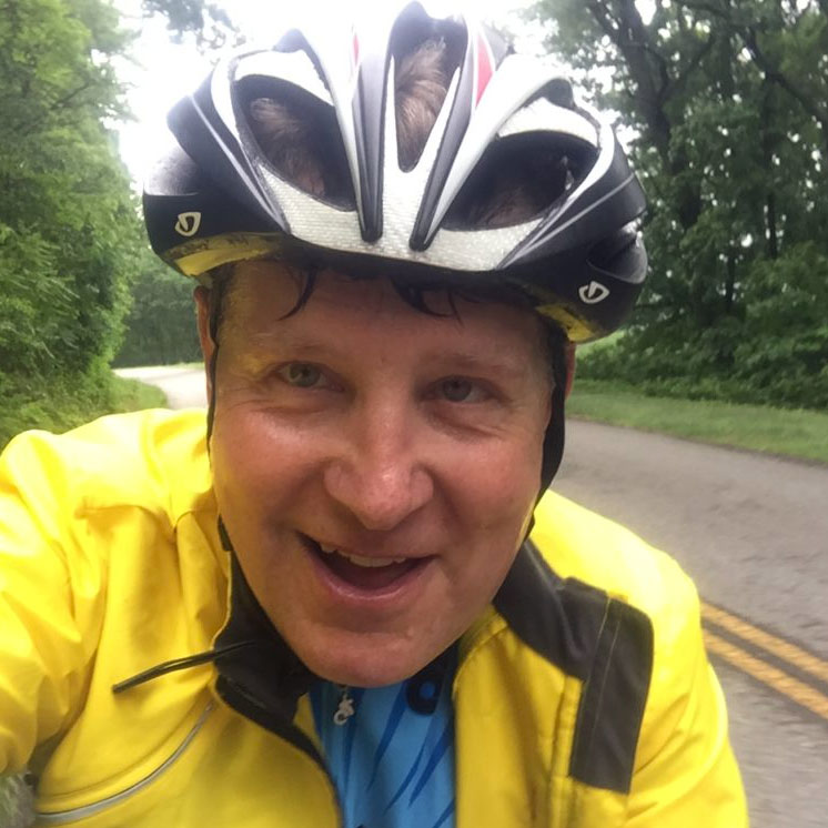
A trail selfie
Since we still had to drive home to Roanoke – about 100 miles away, our plan had been to log about 20 miles on an out and back. The trail has mile markers that I’m assuming date back to when the trains ran this route. As near as I can tell, the mile markers actually start at mile three, if you begin at Caldwell. Using them as a guide, you should arrive at the small community of Anthony at around mile marker 14, but only 11 miles from the start. There is parking there and a boat launch but no restrooms. The Association’s map shows restroom near there, but we did not see one.
A tribute to Mark Ligon Hankins

A sign near the trail head thanks Mark Ligon Hankins for his efforts to help the state acquire the rail bed right of way from the C & O Railway. The West Virginia Encyclopedia mentions his work and that his father and grandfather had planned the Greenbrier division of the C & O as engineers. An obituary in the Pocahontas Times says that he died after a stroke in 1994 at the age of 89. Call me an old sole, but it seems right to recognize him and his effort as the trail truly is a jewel for those of us who enjoy getting outdoors.
This was my second outing on the trail. A group of friends and I all rode the northernmost portion a couple of years ago. At that time we started at the Cass Railroad and rode south to Sharp’s tunnel. There we enjoyed a nice lunch by the river before pedaling back to Cass. Both ends of the trail are equally enjoyable.

One of two tent sites we passed on our ride.
On this trip we passed 2 of the 11 tent camping sites along the trail. There is also an option at Watoga State Park which is about at the halfway point. We only had time for 22 miles on our trip, but at some point it would be fun to make it a two day trip and ride the entire distance from Caldwell to Cass. It might be a good introduction to bikepacking!

The old mile markers are still there. But they actually begin around mm 3 ! So at 5 you’ve been about two miles.

The 29er rolled like a cloud, but might be a bit of extra work on a rail trail.

A sign at Anthony, where there is public parking and river access.

One of the houses at Anthony

The Greenbrier River

Cycling beside the Greenbrier River April 2018